These geographic mistakes most people make about Africa
Geography is one of the most valuable things that will come in handy in your life, and sometimes it can even save it. It’s okay to make mistakes, but some are embarrassing for an adult to make. Here are a few geographic mistakes that most people make about Africa and should be ashamed of.
Geographic mistakes most people make about Africa
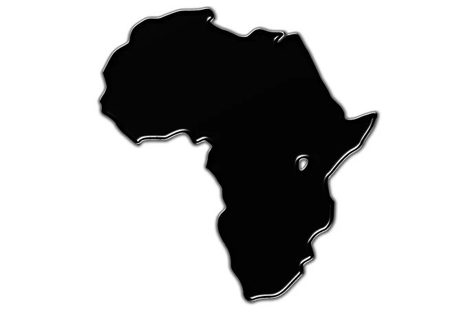
Africa is a country
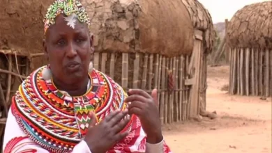
Some people seriously consider Africa as one country. Perhaps this is due to the fact that in childhood, studying this continent on the world map, people remember that there is such a country – South Africa. And they think that at least half of the continent is occupied by one country.
In fact, this continent consists of 55 states whose populations differ in skin color, culture, language, and religion.
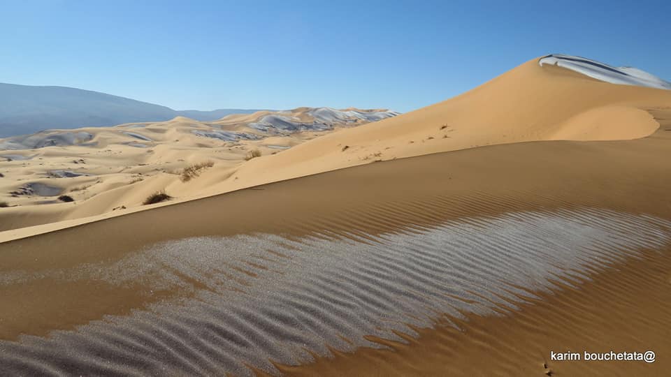
Africa is a desert
This misconception arises from popular culture, where, if Africa is shown, the action most often takes place in the Sahara desert. Because of this, many people think that Africa is completely sand dunes, in which there is not a single source of water for hundreds or even thousands of kilometers.
In fact, the Sahara Desert is located only in the north of the continent. In the south is the Kalahari Desert, and in the southwest is the Namib Desert. Everything in between (and these are very large territories) are savannas and even humid jungles, where heavy rainfall falls throughout the year. In terms of the amount of flora and fauna, the African jungle is not inferior to the jungle of South America and Oceania.
Russia and Greenland are larger than Africa
This misconception was because the Mercator projection was most often used in geography lessons at school, which, due to the fact that it has a different scale in different areas, increasing towards the poles and decreasing towards the equator, does not preserve the area. Because of this, the island of Greenland seems to be two to three times the size of Australia and resembles South America in size, although in reality, it is three times smaller than Australia and eight times smaller than South America.
The same goes for Russia, which looks truly gigantic on the Mercator projection. But in reality, everything is more modest. The area of Russia is 17.1 million square kilometers, while the area of South America is 17.84 million kilometers, and the area of Africa is 30.37 million kilometers.
Don’t be fooled by maps with Mercator projections. These maps enlarge the north and south poles to enormous dimensions, making Greenland seem enormous. In reality, Africa has an area of 11,730,000 square miles, whereas Greenland has an area of just 836,300 square miles.
It’s always hot in the deserts
Again, this misconception came from popular culture, where deserts are shown as a real hell on earth: the temperature there never drops below 30 degrees, and even at night, people languish from the heat. But in fact, since the sand cools very quickly, in winter, even in such a hot desert like the Sahara, the soil can freeze, and temperatures below minus ten degrees Celsius are recorded at night.
In addition, do not forget that not only sandy but also icy wastelands are called deserts. More precisely, any place where the annual amount of precipitation is less than 200 millimeters is considered a desert, and the vegetation cover is thin and covers less than 50% of the soil or is completely absent. Without taking into account the polar deserts of Antarctica and the Arctic, the total area of deserts is about 14% of the land, and with the polar deserts – more than 20%.
Florida is the state that is closest to Africa
It might seem logical given that Florida is the most southern state and borders the Atlantic. However, this is not the case. Quoddy Head, a tiny peninsula off the coast of Maine, is just 3,154 miles from El Beddouza, Morocco. The nearest point in Florida to Africa is more than 1,000 miles away.
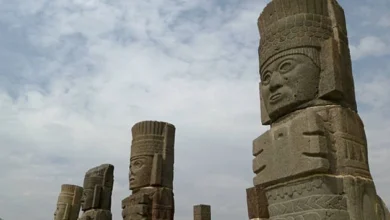
Egypt is completely located in Africa
Nope! Egypt is technically a transcontinental nation. The Suez Canal (which goes through Egypt) serves as a border between Asia and Africa. The Sinai Peninsula is a tiny section of Egypt located on the side of the canal that is traditionally recognized as Asia. The bulk of the nation lies in Africa, with a land bridge linking Egypt’s mainland to the Sinai Peninsula.
Cape Town is South Africa’s single capital
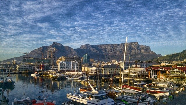
Cape Town is South Africa’s capital, but it is not the only one. South Africa is one of just a few nations in the world without a single capital city. Instead, they have three capital cities, one for each of the three branches of government. Pretoria is South Africa’s administrative capital. The legislative capital is Cape Town. Bloemfontein serves as the judicial capital.
Nigeria’s capital is Lagos
This used to be true, but the capital was relocated to Abuja in 1991. That relocation had at least two advantages: Abuja is in the country’s center, and it is home to Wonderland, one of the country’s earliest amusement parks.